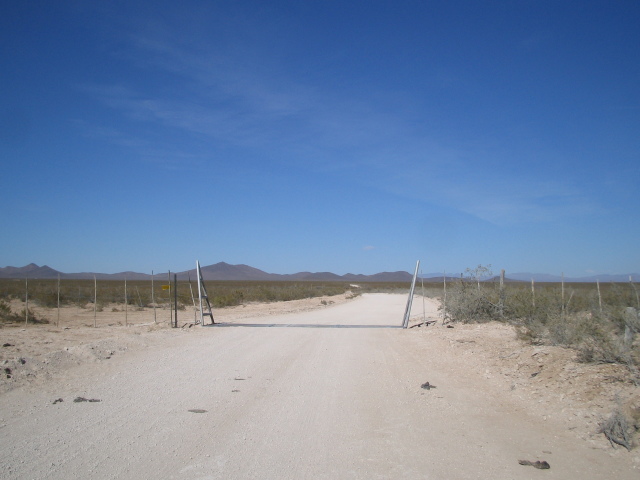
On the afternoon of February 19, 2006, I decided to set out and find the future site of the Southwest Regional Spaceport, which will be used by Virgin Galactic for space launches. The spaceport will be located in rural southern New Mexico near the abandoned town of Upham. I followed the directions posted on Mike McConnell's New Mexico Spaceport blog.
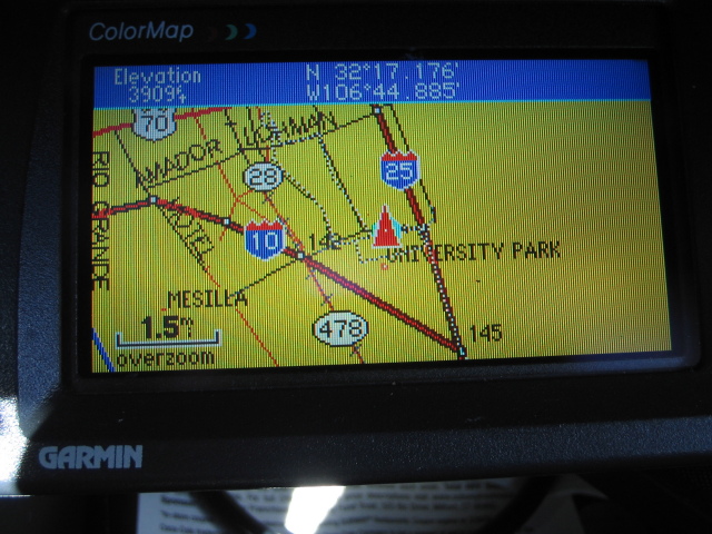
| Location: | Las Cruces, NM |
| Latlon: | 32°17.176' N, 106°44.885' W |
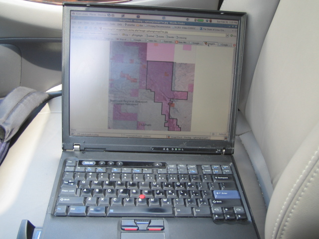
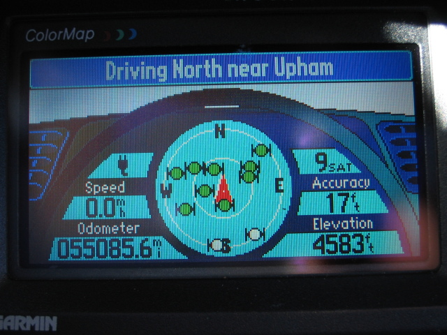
The journey starts in Las Cruces, a university town 41 miles south of the spaceport site. Las Cruces is the nearest sizable town to the site by road (assuming the official route to the spaceport continues to be at exit 32), although the town of Truth or Consequences is only 22 miles away, as the crow flies. The GPS and laptop are out and ready for spaceport hunting.
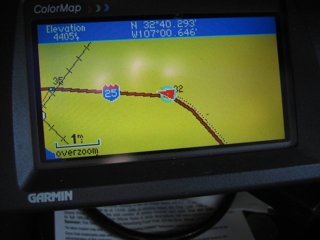
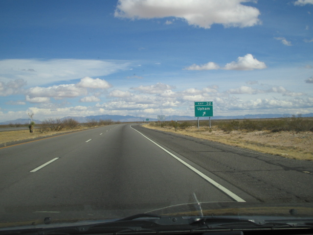
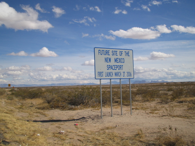
| Location: | Interstate 25 Exit 32 |
| Latlon: | 32°40.293' N, 107°00.646' W |
| Mile: | 0.0 |
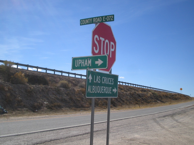
A freeway sign for the spaceport is posted at exit 32: "Future site of the New Mexico Spaceport - First Launch March 27, 2006". The gravel County Road E-072 leads away from the interstate, and there's even an arrow sign for the unpopulated town of Upham.
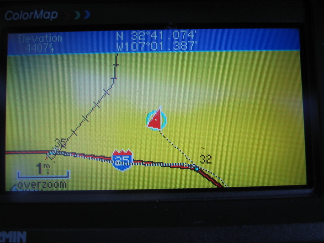
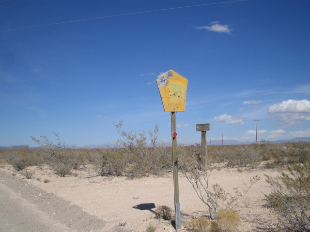
| Location: | County Road E-072 |
| Latlon: | 32°41.074' N, 107°01.387' W |
| Mile: | 1.2 |
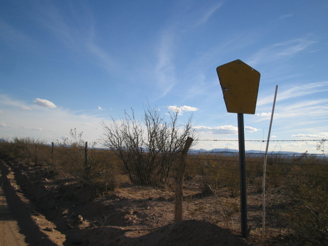
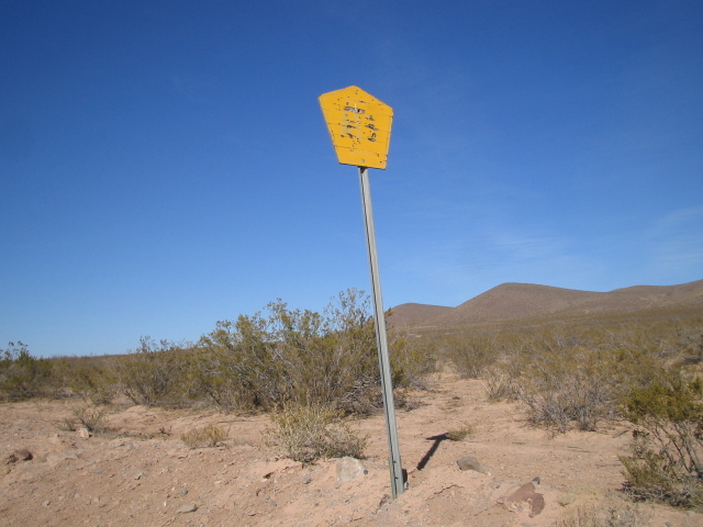
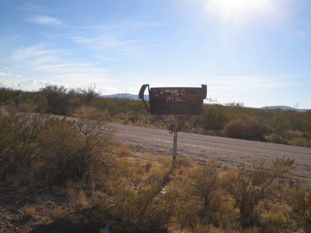
This road sign is too faded to read.
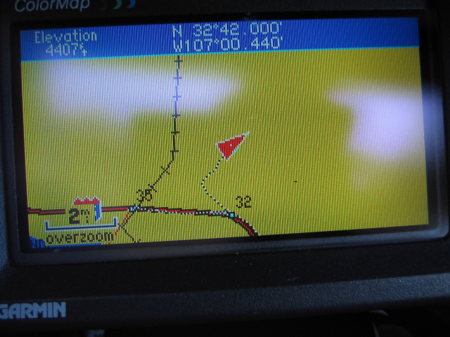
| Location: | Odell Ranch |
| Latlon: | 32°42.000' N, 107°00.440' W |
| Mile: | 2.6 |
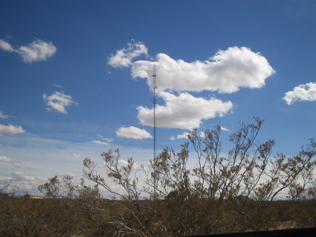
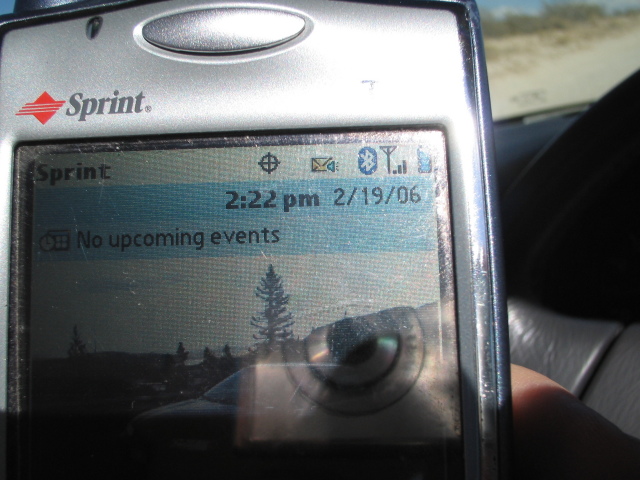
Odell Ranch, 2.6 miles from the freeway, has a cellphone tower on the property. My Sprint phone indicated three bars -- maybe the Sprint tower is somewhere else.
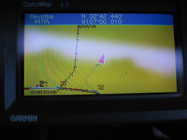
| Location: | First Cattle Guard |
| Latlon: | 32°42.440' N, 107°00.010' W |
| Mile: | 3.3 |
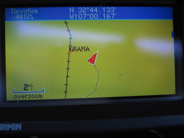
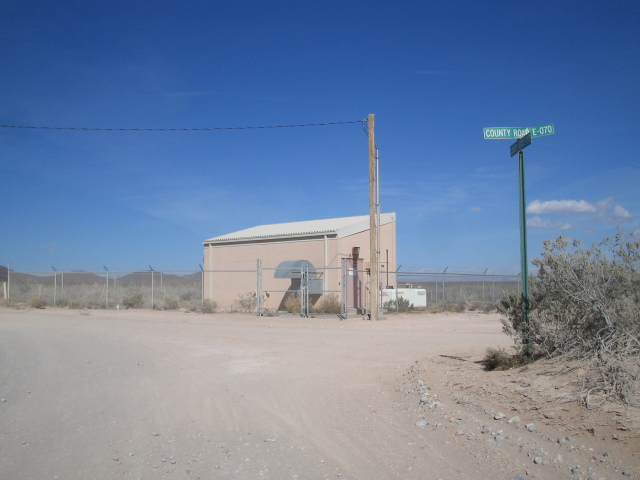
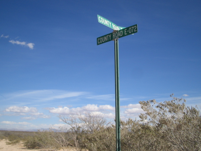
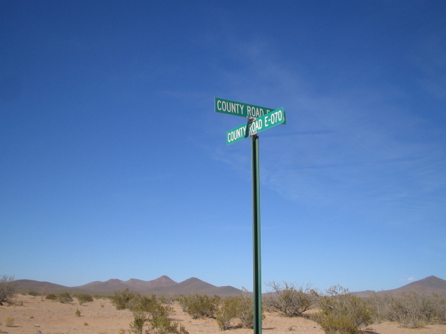
| Location: | Intersection with CR E-070 |
| Latlon: | 32°44.133' N, 107°00.167' W |
| Mile: | 5.4 |
At the intersection with County Road E-070, there is a small shack with a telephone line and a diesel generator. Perhaps this is a telephone company site.
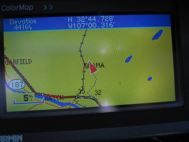
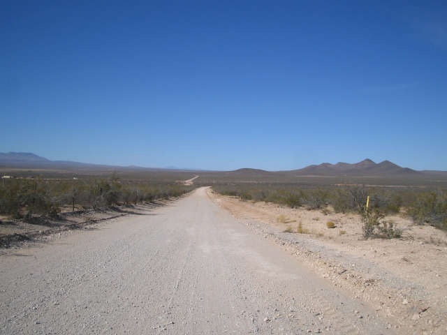
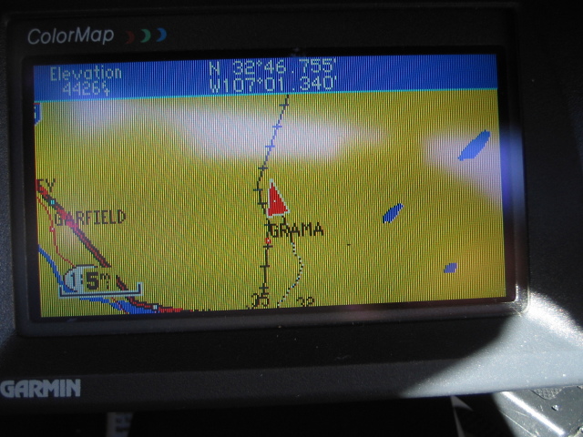
| Location: | Middle of Nowhere |
| Latlon: | 32°44.728' N, 107°00.316' W |
| Mile: | 6.1 |
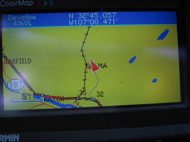
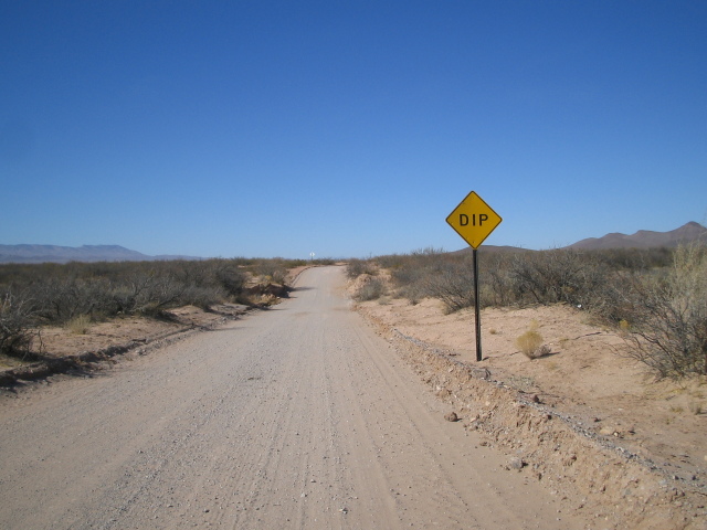
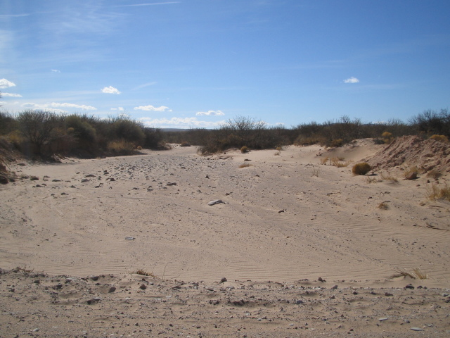
| Location: | Dip! |
| Latlon: | 32°45.057' N, 107°00.471' W |
| Mile: | 6.5 |
The dip warned about on the New Mexico Spaceport blog is here. Even though it had been raining a lot in El Paso that morning, this section of New Mexico was quite dry.
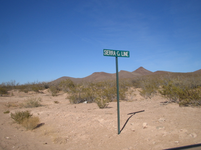
| Location: | Sierra County Line |
| Latlon: | 32°46.755' N, 107°01.340' W |
| Mile: | 8.6 |
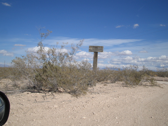
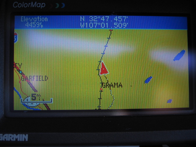
| Location: | Middle of Nowhere |
| Latlon: | 32°47.457' N, 107°01.509' W |
| Mile: | 9.5 |
The road becomes designated as A-013 after entering Sierra County. I imagine this is what the sign would say, if it was readable.
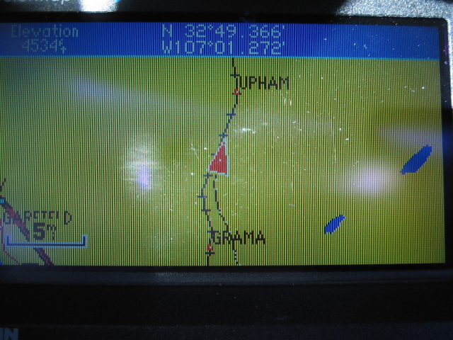
| Location: | Another cattle guard |
| Latlon: | 32°49.366' N, 107°01.272' W |
| Mile: | 11.7 |
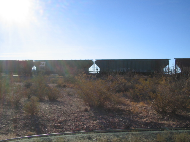
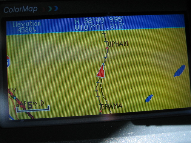
| Location: | Near the railroad |
| Latlon: | 32°49.995' N, 107°01.312' W |
| Mile: | 12.5 |
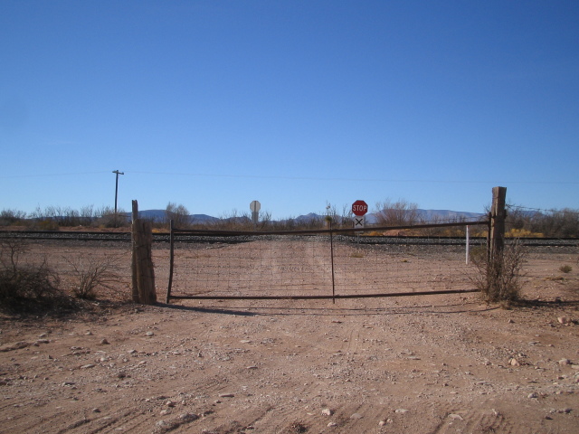
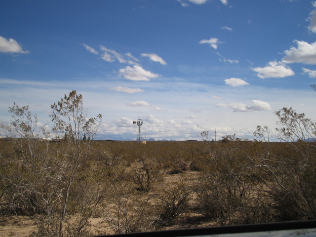
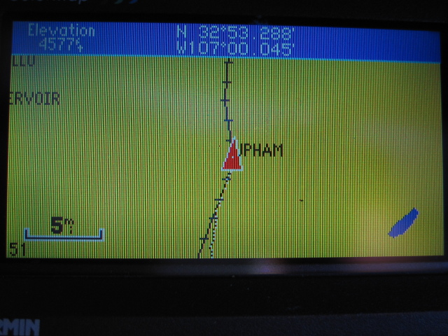
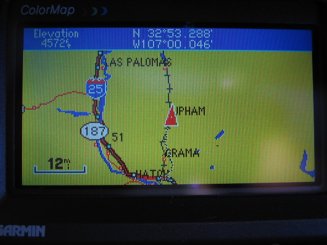
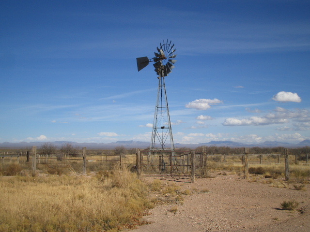
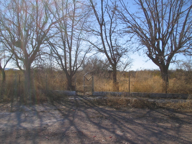
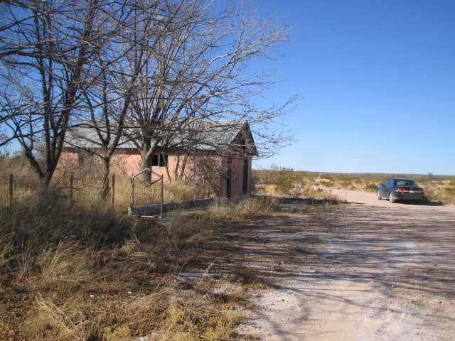
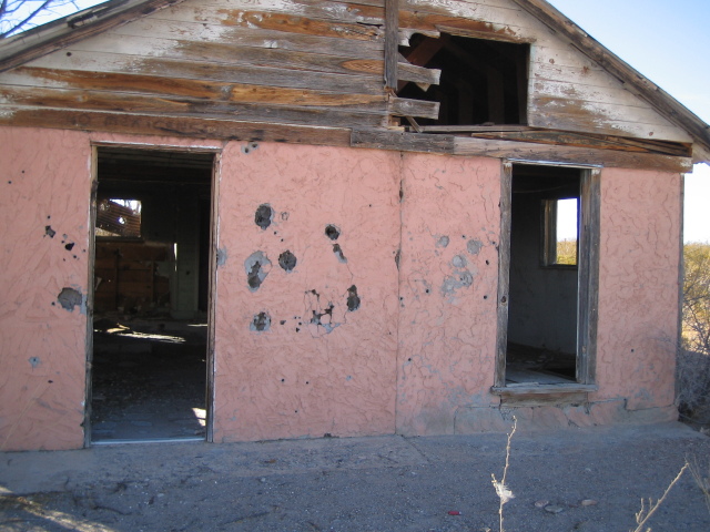
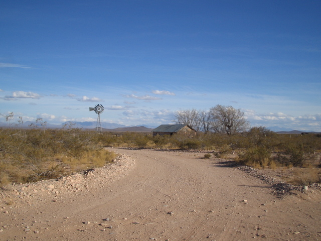
| Location: | Upham! |
| Latlon: | 32°53.288' N, 107°00.045' W |
| Mile: | 16.5 |
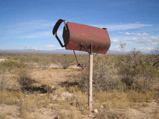
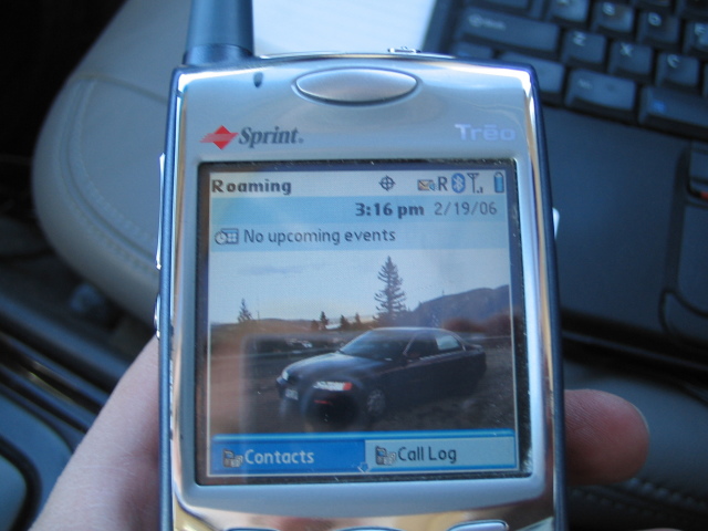
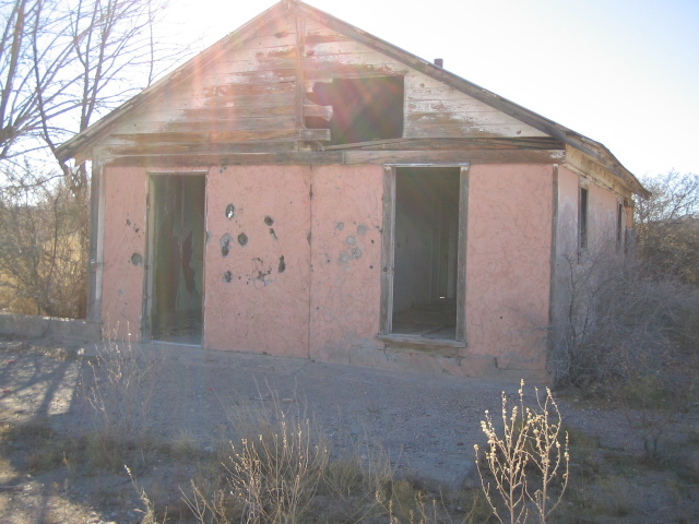
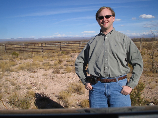
Whoohoo! I've made it to Upham. My cellphone gets a roaming signal at this location, and there's an abandoned house and a windmill here.
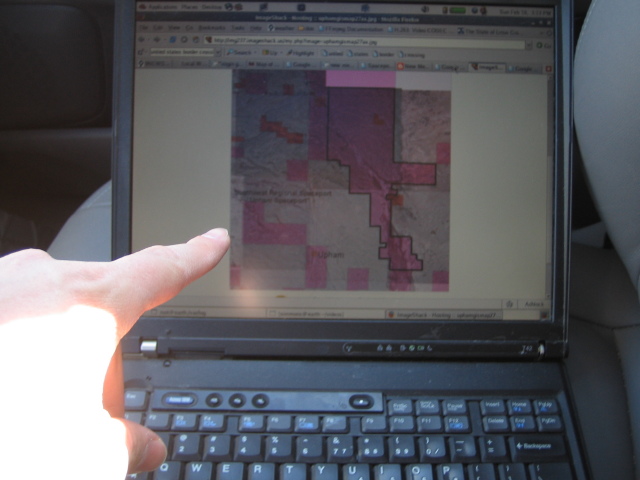
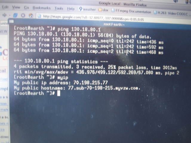
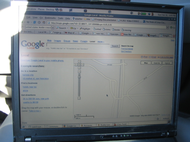
Amazingly enough, my Verizon internet service actually worked in this remote area! I was able to get online and query Google Maps.
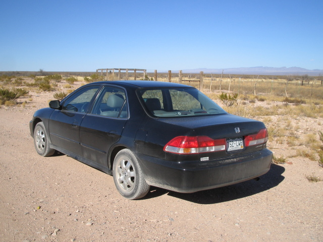
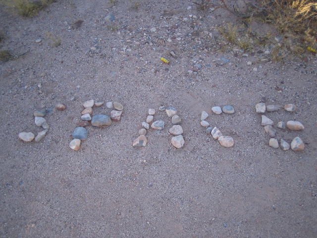
I didn't run into Sir Richard Branson or find a spaceship ready to take me away from this miserable gravity well, but maybe next time. There wasn't even a "Spaceport Goes Here" sign. I figured the least I could do was to leave an easter egg message for the next person.
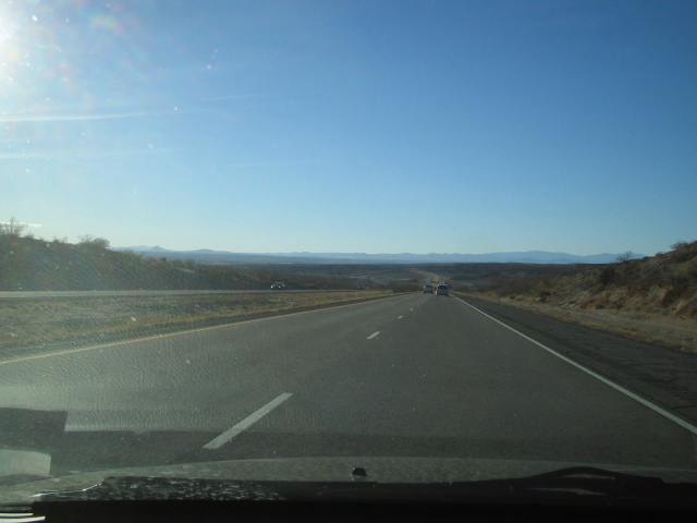
| Location: | Heading back to the freeway |